
ORLANDO, Fla. — It was a hot and somewhat stormy start to the weekend, and more heat and storms are ahead for Sunday.
The rain and storms will slowly wind down this evening, with an isolated strong storm possible. Morning lows will be in the upper 70s.
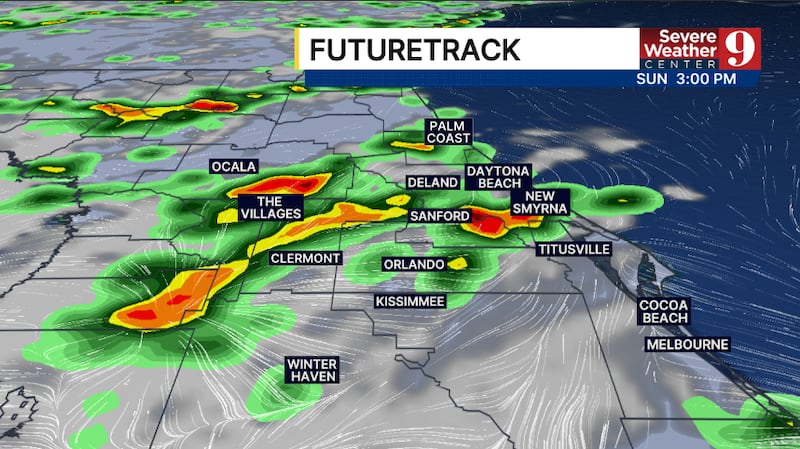
More PM storms are likely for Sunday. The activity may start earlier, with slightly cooler temps across the region. Highs to close out the weekend will be in the mid 90s.
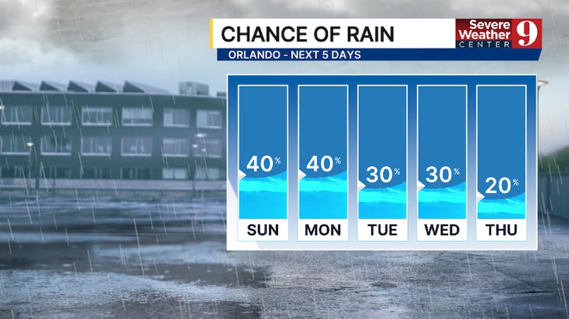
The scattered storm threat is expected to start next week. We will again see activity develop in the afternoon and evening hours, with highs on Monday in the mid-90s.

It now looks likely that another round of Saharan dust will impact the region for the middle of next week. This will reduce PM storm coverage and push highs into the mid-to-upper 90s.
The dust is now expected to linger into the back end of next week, keeping hot conditions continuing. Feels like temps may exceed 105° Thursday and Friday, with highs in the upper 90s.
Click here to download our free news, weather and smart TV apps. And click here to stream Channel 9 Eyewitness News live.

©2026 Cox Media Group