

CENTRAL FLA. — After higher coverage of rain and storms, more activity is likely to close out the weekend.
Scattered showers and storms will fade some this evening, but a few showers remain possible overnight. Morning lows will be in the mid-70s.

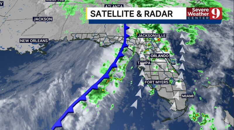
More rain and storms are likely as a strong cold front pushes through the area. The best chance for activity will be in the daytime hours, with highs in the upper 80s.
Behind the front, the start of the dry season is likely to begin on Monday. We’ll see plenty of sunshine on Monday with highs in the upper 80s.
It stays dry and warm through the middle of next week, with just a few clouds on Tuesday and Wednesday and temps in the upper 80s.
Some moisture may return to the area late next week, with a stray shower possible by next Friday.
Click here to download our free news, weather and smart TV apps. And click here to stream Channel 9 Eyewitness News live.

©2026 Cox Media Group