
ORLANDO, Fla. — Tropical Storm Bertha continues to slowly spin in the northeast Gulf.
Meteorologist Kassandra Crimi said it will slowly drift northwest and west over the next few days, bringing gusty winds and heavy rain to many across the northern Gulf coastline.

States likely feeling some effects from Bertha will include Texas, Louisiana, Mississippi, Alabama and Florida’s Panhandle.
As it pulls farther away from Central Florida, drier air will slide in.
Tuesday’s chance for rain is at 30%, so we could see isolated showers & storms across the Channel 9 viewing area. Rain chances will drop in the coming days.
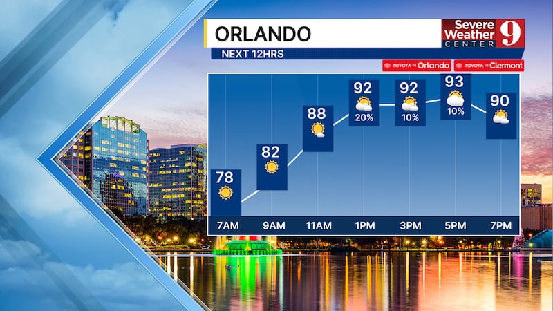
It will be hot Tuesday in Central Florida, as highs climb into the mid 90s. It’s a trend Crimi said we can expect for the rest of the week.
Click here to download our free news, weather and smart TV apps. And click here to stream Channel 9 Eyewitness News live.

©2026 Cox Media Group