
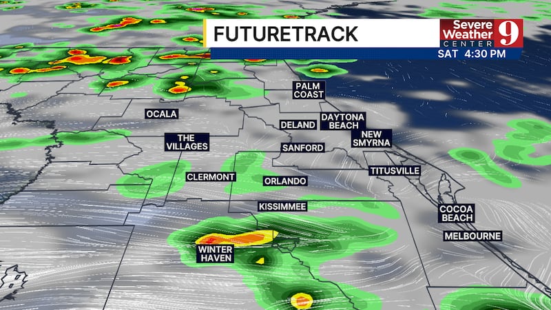
CENTRAL FLORIDA — Another round of late-afternoon and evening rain is possible across Central Florida today.
A few stronger thunderstorms may develop, with the primary threats being heavy downpours and wind gusts of 30 to 40 mph.
Widespread severe weather is not expected.
Temperatures will climb a touch above average, reaching the upper 80s this afternoon. Humid conditions will make it feel a few degrees warmer.
Even more moisture will move into the region overnight and into Sunday, leading to higher rain chances on Sunday and Monday.
While widespread severe storms are not anticipated, some areas could pick up significant rainfall totals during this period.
A few locations, especially west of Orlando, could receive up to 4 inches of rain.

This unsettled pattern is expected to remain in place through much of the upcoming week.
And don’t forget: the official start of the Atlantic hurricane season is Monday.
Click here to download our free news, weather and smart TV apps. And click here to stream Channel 9 Eyewitness News live.

©2026 Cox Media Group